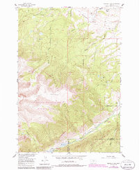
1956 Map of Emerald Lake
USGS Topo · Published 1986About this map
The Fishtail Plateau dominates this high-altitude landscape where the Custer National Forest meets the protected Absaroka-Beartooth Wilderness. At the base of these heights, ranching life is marked by the Bedford Ranch and the Hash Ranch, while the presence of the Bedford School (Abandoned) suggests a time when local families supported a rural schoolhouse in the valley.
Find a feature on this map
31 named features on this map. Tap any name to fly to it.
Don’t see what you’re looking for? This feature index may not catch every label — zoom into the map to look around manually.
Map Details
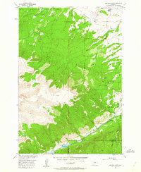
Editions of this 1956 Emerald Lake Map
3 editions found
Other maps of this area

1898 · Granite Mountain District
USGS Topo · 1:125,000

1932 · Nye No 1
USGS Topo · 1:48,000

1932 · Nye No 2
USGS Topo · 1:48,000

1939 · Mt Wood
USGS Topo · 1:62,500

1941 · Mt. Wood
USGS Topo · 1:62,500

1954 · Billings
USGS Topo · 1:250,000
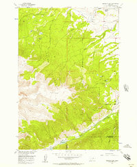
1956 · Emerald Lake
USGS Topo · 1:24,000
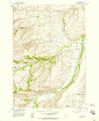
1956 · Fishtail
USGS Topo · 1:24,000

1956 · Alpine
USGS Topo · 1:62,500

1956 · Mackay Ranch
USGS Topo · 1:24,000