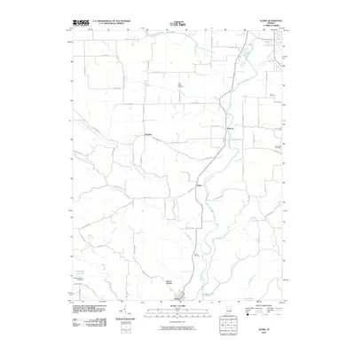
2010 Map of Alpine
USGS Topo · Published 2010About this map
The Whitewater River flows through the heart of this region, shaping a landscape defined by small river settlements and an extensive network of tributary creeks. In this survey, the community of Alpine sits at a crossroads along the river valley, flanked by Nulltown to the north and the gridded streets of Laurel to the south. The terrain is deeply etched by watercourses such as Garrison Creek and Sanes Creek, the latter of which is held by the Champion Acre Lake Dam.
Find a feature on this map
77 named features on this map. Tap any name to fly to it.
Don’t see what you’re looking for? This feature index may not catch every label — zoom into the map to look around manually.
Map Details
Editions of this 2010 Alpine Map
This is the sole edition of this map. No revisions or reprints were ever made.
Other maps of this area

1953 · Cincinnati
USGS Topo · 1:250,000

1956 · Everton
USGS Topo · 1:24,000

1956 · Alpine
USGS Topo · 1:24,000

1956 · Brownsville
USGS Topo · 1:24,000

1956 · Metamora
USGS Topo · 1:24,000

1956 · Connersville
USGS Topo · 1:24,000

1956 · Brookville
USGS Topo · 1:24,000

1957 · Cincinnati
USGS Topo · 1:250,000

1958 · Clarksburg
USGS Topo · 1:24,000

1959 · New Salem
USGS Topo · 1:24,000