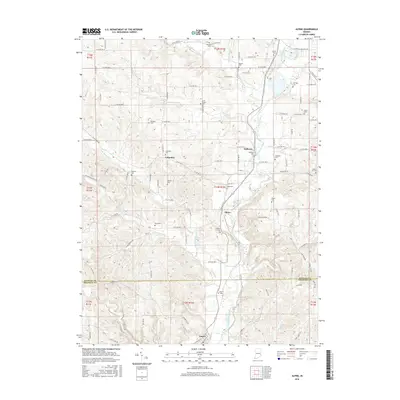
2016 Map of Alpine
USGS Topo · Published 2016About this map
The Whitewater River valley defines the character of this Fayette County landscape, carving a path through the terrain south of Nulltown. The small settlement of Alpine sits near the river's edge, surrounded by a dense network of family-named cemeteries that speak to the long-standing rural community structure of the region. From Brownlee Cem in the north to North Cem near the town of Laurel, these sites offer significant data for genealogical research. The topography is marked by notable elevations such as Kokomo Hill and several drainage systems including Williams Creek, Fall Cr, and Garrison Cr. The survey details a mix of established townships and outlying rural settlements like Columbia, connected by a grid of county roads that navigate the varying elevations and river crossings of this eastern Indiana corridor.
Find a feature on this map
101 named features on this map. Tap any name to fly to it.
Don’t see what you’re looking for? This feature index may not catch every label — zoom into the map to look around manually.
Map Details
Editions of this 2016 Alpine Map
This is the sole edition of this map. No revisions or reprints were ever made.
Other maps of this area

1953 · Cincinnati
USGS Topo · 1:250,000

1956 · Everton
USGS Topo · 1:24,000

1956 · Alpine
USGS Topo · 1:24,000

1956 · Brownsville
USGS Topo · 1:24,000

1956 · Metamora
USGS Topo · 1:24,000

1956 · Connersville
USGS Topo · 1:24,000

1956 · Brookville
USGS Topo · 1:24,000

1957 · Cincinnati
USGS Topo · 1:250,000

1958 · Clarksburg
USGS Topo · 1:24,000

1959 · New Salem
USGS Topo · 1:24,000