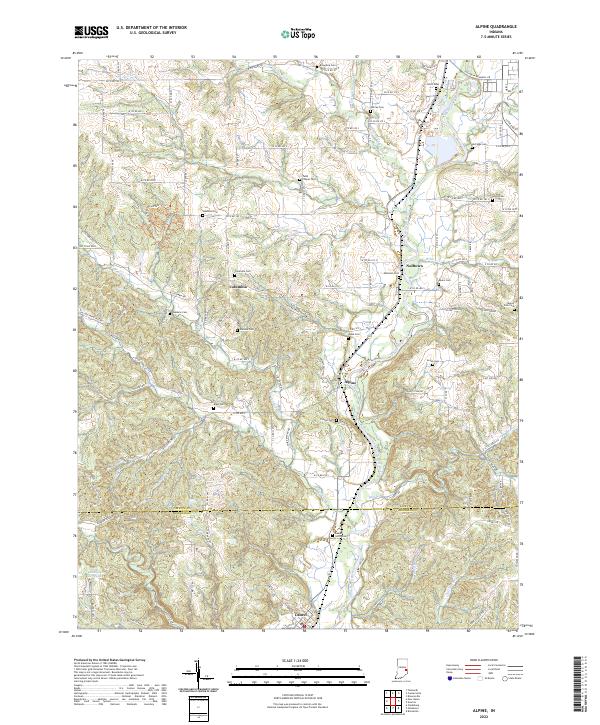
2022 Map of Alpine
USGS Topo · Published 2022About this map
The Whitewater River corridor defines the geography of this Fayette County region, where the winding waterway is flanked by a series of small riverside settlements and family burial grounds. The village of Alpine sits at the center of this landscape, joined by Nulltown to the north and the larger town of Laurel to the south. These communities developed along the river valley's natural transit routes, a pattern reinforced by the scattered placement of historic sites like Conner Cem and Laurel North Cem near the banks.
Find a feature on this map
86 named features on this map. Tap any name to fly to it.
Don’t see what you’re looking for? This feature index may not catch every label — zoom into the map to look around manually.
Map Details
Editions of this 2022 Alpine Map
This is the sole edition of this map. No revisions or reprints were ever made.
Other maps of this area

1953 · Cincinnati
USGS Topo · 1:250,000

1956 · Everton
USGS Topo · 1:24,000

1956 · Alpine
USGS Topo · 1:24,000

1956 · Brownsville
USGS Topo · 1:24,000

1956 · Metamora
USGS Topo · 1:24,000

1956 · Connersville
USGS Topo · 1:24,000

1956 · Brookville
USGS Topo · 1:24,000

1957 · Cincinnati
USGS Topo · 1:250,000

1958 · Clarksburg
USGS Topo · 1:24,000

1959 · New Salem
USGS Topo · 1:24,000