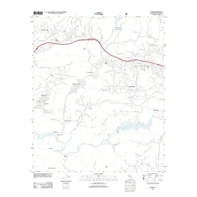
2012 Map of Alpine
USGS Topo · Published 2012About this map
Alpine and its surrounding highlands are captured in this 2012 study of San Diego County’s inland terrain. The landscape is defined by the significant drainage of the Sweetwater River and N Fork Sweetwater River, which flow south toward the Loveland Reservoir. This man-made body of water is a central landmark for the area, supported by the Loveland Fishing Access Trailhead for recreation. The map illustrates a transition from the denser residential clusters of Suncrest and La Cresta in the west to the more dispersed ranching and equestrian properties like Reynon Ranch and McClain Ranch. Dominating the southern horizon are the prominent elevations of Sycuan Peak and McGinty Mountain, while the northern reaches include the steep descent into Chocolate Canyon and the Peutz Valley. This survey provides a clear view of the complex road network, including Olde Highway 80, that connects these mountain communities during a period of sustained suburban growth.
Find a feature on this map
128 named features on this map. Tap any name to fly to it.
Don’t see what you’re looking for? This feature index may not catch every label — zoom into the map to look around manually.
Map Details
Editions of this 2012 Alpine Map
This is the sole edition of this map. No revisions or reprints were ever made.
Other maps of this area

1893 · El Cajon
USGS Topo · 1:62,500

1901 · Elcajon
USGS Topo · 1:62,500

1903 · Cuyamaca
USGS Topo · 1:125,000

1903 · Elcajon
USGS Topo · 1:62,500

1904 · Southern California Sheet No. 2
USGS Topo · 1:250,000

1939 · El Cajon
USGS Topo · 1:62,500

1942 · Potrero
USGS Topo · 1:48,000

1942 · El Cajon
USGS Topo · 1:62,500

1942 · Cuyamaca Peak
USGS Topo · 1:62,500

1943 · Jamul
USGS Topo · 1:62,500