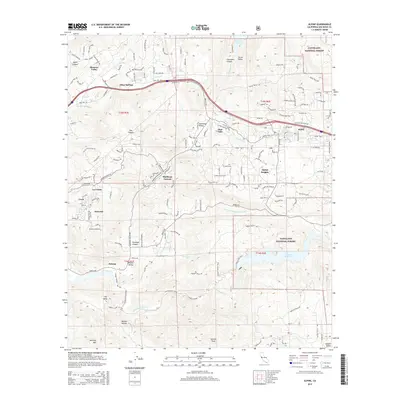
2015 Map of Alpine
USGS Topo · Published 2015About this map
Alpine and its surrounding mountain communities occupy a landscape of steep canyons and high peaks in this mid-2010s survey. The area is defined by its complex hydrology, with the Sweetwater River and N Fork Sweetwater River feeding into the Loveland Reservoir at the edge of the Cleveland National Forest. The settlement pattern follows the valley floors and ridges, notably through Harbison Canyon and the Dehesa Valley, while major arteries like Alpine Blvd and Olde Hwy 80 trace the historic transcontinental travel routes across the region.
Find a feature on this map
52 named features on this map. Tap any name to fly to it.
Don’t see what you’re looking for? This feature index may not catch every label — zoom into the map to look around manually.
Map Details
Editions of this 2015 Alpine Map
This is the sole edition of this map. No revisions or reprints were ever made.
Other maps of this area

1893 · El Cajon
USGS Topo · 1:62,500

1901 · Elcajon
USGS Topo · 1:62,500

1903 · Cuyamaca
USGS Topo · 1:125,000

1903 · Elcajon
USGS Topo · 1:62,500

1904 · Southern California Sheet No. 2
USGS Topo · 1:250,000

1939 · El Cajon
USGS Topo · 1:62,500

1942 · Potrero
USGS Topo · 1:48,000

1942 · El Cajon
USGS Topo · 1:62,500

1942 · Cuyamaca Peak
USGS Topo · 1:62,500

1943 · Jamul
USGS Topo · 1:62,500