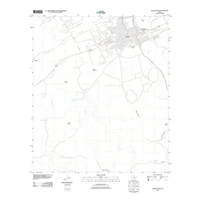
2010 Map of Alpine South
USGS Topo · Published 2010About this map
Alpine stands as the primary hub of this High Frontier landscape, where the urban grid of the town meets the sprawling campus of Sul Ross State University. The geography is defined by a series of prominent peaks and canyons that surround the settlement, including Lizard Mountain and Hancock Hill to the north, and the distinctive Twin Sisters to the west. This 2010 survey illustrates the intersection of modern infrastructure and traditional ranching geography, tracing the paths of Paisano Creek and Alpine Creek as they wind through the high-elevation basin.
Find a feature on this map
27 named features on this map. Tap any name to fly to it.
Don’t see what you’re looking for? This feature index may not catch every label — zoom into the map to look around manually.
Map Details
Editions of this 2010 Alpine South Map
This is the sole edition of this map. No revisions or reprints were ever made.
Other maps of this area

1895 · Alpine
USGS Topo · 1:125,000

1954 · Fort Stockton
USGS Topo · 1:250,000

1958 · Fort Stockton
USGS Topo · 1:250,000

1972 · Bird Mountain
USGS Topo · 1:24,000

1972 · Alpine North
USGS Topo · 1:24,000

1972 · Paisano
USGS Topo · 1:24,000

1972 · Mitre Peak
USGS Topo · 1:24,000

1972 · Alpine South
USGS Topo · 1:24,000

1972 · Elam Mountain
USGS Topo · 1:24,000

1973 · Fort Stockton
USGS Topo · 1:250,000