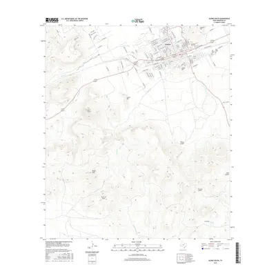
2016 Map of Alpine South
USGS Topo · Published 2016About this map
The southern reaches of Alpine and the high desert landscape of Brewster County are documented in this 2016 survey. The map details the core of Sul Ross State University and the residential expansion of the town, transitioning quickly into a landscape of notable peaks and canyons. Topographic features such as Lizard Mountain and the Twin Sisters dominate the western portion of the sheet, while drainage systems like Paisano Creek and McIntyre Creek carve through the arid terrain.
Find a feature on this map
104 named features on this map. Tap any name to fly to it.
Don’t see what you’re looking for? This feature index may not catch every label — zoom into the map to look around manually.
Map Details
Editions of this 2016 Alpine South Map
This is the sole edition of this map. No revisions or reprints were ever made.
Other maps of this area

1895 · Alpine
USGS Topo · 1:125,000

1954 · Fort Stockton
USGS Topo · 1:250,000

1958 · Fort Stockton
USGS Topo · 1:250,000

1972 · Bird Mountain
USGS Topo · 1:24,000

1972 · Alpine North
USGS Topo · 1:24,000

1972 · Paisano
USGS Topo · 1:24,000

1972 · Mitre Peak
USGS Topo · 1:24,000

1972 · Alpine South
USGS Topo · 1:24,000

1972 · Elam Mountain
USGS Topo · 1:24,000

1973 · Fort Stockton
USGS Topo · 1:250,000