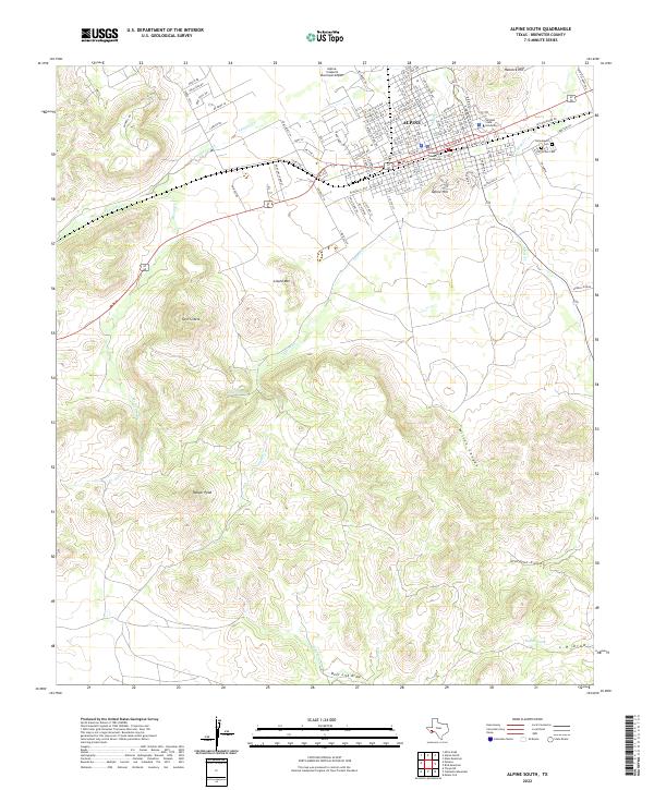
2022 Map of Alpine South
USGS Topo · Published 2022About this map
Alpine serves as the primary hub of this Brewster County landscape, where the urban grid is dominated by the sprawling campus of Sul Ross State University and the historic Brewster County Courthouse. The town occupies a transition point between the high desert plains and the northern edges of the Davis Mountains, with elevations rising sharply to the south at Ranger Peak and Twin Sisters.
Find a feature on this map
81 named features on this map. Tap any name to fly to it.
Don’t see what you’re looking for? This feature index may not catch every label — zoom into the map to look around manually.
Map Details
Editions of this 2022 Alpine South Map
This is the sole edition of this map. No revisions or reprints were ever made.
Other maps of this area

1895 · Alpine
USGS Topo · 1:125,000

1954 · Fort Stockton
USGS Topo · 1:250,000

1958 · Fort Stockton
USGS Topo · 1:250,000

1972 · Bird Mountain
USGS Topo · 1:24,000

1972 · Alpine North
USGS Topo · 1:24,000

1972 · Paisano
USGS Topo · 1:24,000

1972 · Mitre Peak
USGS Topo · 1:24,000

1972 · Alpine South
USGS Topo · 1:24,000

1972 · Elam Mountain
USGS Topo · 1:24,000

1973 · Fort Stockton
USGS Topo · 1:250,000