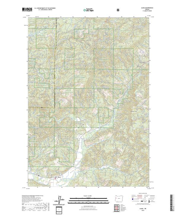
2024 Map of Alsea
USGS Topo · Published 2024About this map
The settlement of Alsea serves as the focal point of this region, situated where the North Fork Alsea River and the Alsea River converge. The landscape is defined by the expansive Siuslaw National Forest, which covers much of the high ground between Lincoln and Benton counties. For genealogists, the Alsea Cem is clearly marked south of the town, near the junction of Alsea Valley and Honey Grove Rd. The terrain is characterized by prominent peaks and ridges including Old Blue Mtn, Doe Mtn, and Maddsens Knob. Local water systems like Bailor Creek and Honey Grove Creek drain the western slopes of the Coast Range, particularly around the high pass at Alsea Summit. This survey illustrates the intricate network of forest roads and creek-fed valleys that supported the area's timber and agricultural heritage through the early twenty-first century.
Find a feature on this map
53 named features on this map. Tap any name to fly to it.
Don’t see what you’re looking for? This feature index may not catch every label — zoom into the map to look around manually.
Map Details
Editions of this 2024 Alsea Map
This is the sole edition of this map. No revisions or reprints were ever made.
Other maps of this area

1921 · Corvallis
USGS Topo · 1:62,500

1922 · Monroe
USGS Topo · 1:62,500

1939 · Marys Peak
USGS Topo · 1:62,500

1939 · Monroe
USGS Topo · 1:62,500

1942 · Marys Peak
USGS Topo · 1:62,500

1942 · Alsea
USGS Topo · 1:62,500

1942 · Monroe
USGS Topo · 1:62,500

1942 · Corvallis
USGS Topo · 1:62,500

1953 · Salem
USGS Topo · 1:250,000

1954 · Salem
USGS Topo · 1:250,000