1985 Map of Alsea
USGS Topo · Published 1985About this map
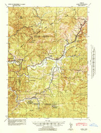
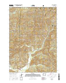
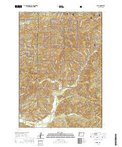
The settlement of Alsea sits at the confluence of the North Fork Alsea River and the South Fork Alsea River, serving as a central point in this heavily forested portion of the Siuslaw National Forest. The landscape is defined by the complex drainage systems of the Coast Range, including Honey Grove Creek and Ryder Creek. A notable industrial presence is marked by the Alsea River Fish Hatchery located along the river bend, while the northern reaches include the City of Corvallis Municipal Watershed. This 1985 edition documents the area during a period of established forest management and resource protection, illustrated by the network of timber-access roads and isolated features like the Quarry and Gravel Pit. Peaks such as Old Blue Mountain and Doe Mountain provide prominent topographical context for the narrow river valleys where local life is concentrated.
Find a feature on this map
44 named features on this map. Tap any name to fly to it.
Don’t see what you’re looking for? This feature index may not catch every label — zoom into the map to look around manually.
Map Details
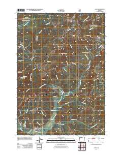
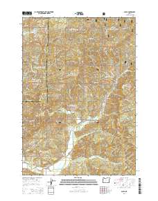
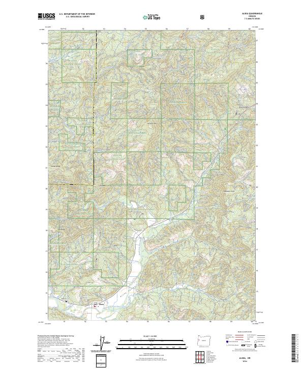
Editions of this 1985 Alsea Map
This is the sole edition of this map. No revisions or reprints were ever made.
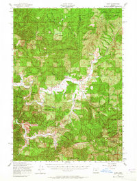
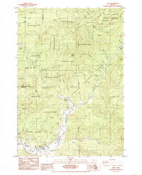
Historical Maps of Alsea Through Time
8 maps found