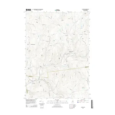
2015 Map of Alstead
USGS Topo · Published 2015About this map
Cold River and its various tributaries, including Great Brook and Milliken Brook, define the drainage patterns of this southwestern New Hampshire landscape. The map captures the small village centers of Alstead and Acworth, connected by a network of winding local roads and historic corridors like Old Stage Rd and Quaker City Rd. The topography is marked by numerous named peaks, such as Beryl Mtn and Osgood Ledge, which overlook a mix of woodlots and scattered clearings.
Find a feature on this map
127 named features on this map. Tap any name to fly to it.
Don’t see what you’re looking for? This feature index may not catch every label — zoom into the map to look around manually.
Map Details
Editions of this 2015 Alstead Map
This is the sole edition of this map. No revisions or reprints were ever made.
Other maps of this area

1902 · Sunapee
USGS Topo · 1:62,500

1905 · Sunapee
USGS Topo · 1:62,500

1907 · Sunapee
USGS Topo · 1:62,500

1926 · Claremont
USGS Topo · 1:62,500

1927 · Bellows Falls
USGS Topo · 1:48,000

1929 · Claremont
USGS Topo · 1:62,500

1930 · Lovewell Mountain
USGS Topo · 1:62,500

1930 · Bellows Falls
USGS Topo · 1:62,500

1942 · Lovewell Mountain
USGS Topo · 1:62,500

1950 · Glens Falls
USGS Topo · 1:250,000