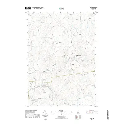
2018 Map of Alstead
USGS Topo · Published 2018About this map
Acworth and Alstead anchor this upland landscape where the Cold River valley carves through the rugged terrain of Sullivan and Cheshire counties. The settlement pattern remains largely tied to the river and its tributaries, such as Bowers Brook and Great Brook, which supported the early mills and industries of the region. A historic crossing is preserved at McDermott Bridge, while the seasonal character of the area is reflected in Vilas Pool and the cluster of seasonal developments near Arch Pond. Numerous family-named summits like Humphrey Hill, Grout Hill, and Cook Hill dominate the topography, interspersed with legacy sites like the Baker Corner Cem. The network of local roads, including Old Stage Rd and Old School House Rd, traces the historical movement between small hamlets like South Acworth and Lynn.
Find a feature on this map
106 named features on this map. Tap any name to fly to it.
Don’t see what you’re looking for? This feature index may not catch every label — zoom into the map to look around manually.
Map Details
Editions of this 2018 Alstead Map
This is the sole edition of this map. No revisions or reprints were ever made.
Other maps of this area

1902 · Sunapee
USGS Topo · 1:62,500

1905 · Sunapee
USGS Topo · 1:62,500

1907 · Sunapee
USGS Topo · 1:62,500

1926 · Claremont
USGS Topo · 1:62,500

1927 · Bellows Falls
USGS Topo · 1:48,000

1929 · Claremont
USGS Topo · 1:62,500

1930 · Lovewell Mountain
USGS Topo · 1:62,500

1930 · Bellows Falls
USGS Topo · 1:62,500

1942 · Lovewell Mountain
USGS Topo · 1:62,500

1950 · Glens Falls
USGS Topo · 1:250,000