2022 Map of Alta
USGS Topo · Published 2022About this map
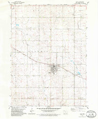
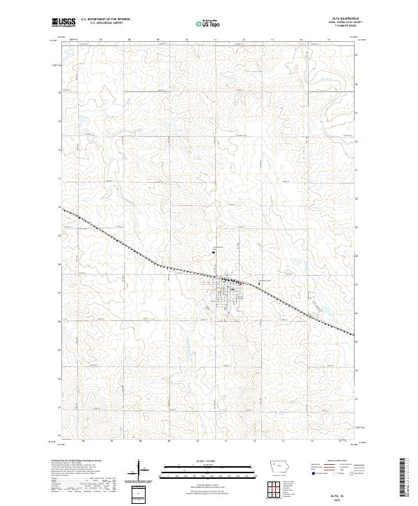
Alta serves as the central hub of this Buena Vista County landscape, where the town's grid is bisected by major local thoroughfares like Co Rd 66 and Hwy M27. The area's agricultural character is defined by a dense network of section-line roads, including 530th St and 610th St, which frame the rolling drainage basins of several local waterways. The Little Maple River meanders through the southern sections, while northern reaches are drained by Maple Cr and Brooke Cr. Local heritage is anchored by sites such as Scandinavian Cem and Woodlawn Cem, both situated near the town outskirts. This survey captures the modern rural structure of Northwest Iowa, showing the proximity of the Po and residential developments like Saint Andrew Dr to the surrounding prairie-turned-farmland.
Find a feature on this map
30 named features on this map. Tap any name to fly to it.
Don’t see what you’re looking for? This feature index may not catch every label — zoom into the map to look around manually.
Map Details
Editions of this 2022 Alta Map
This is the sole edition of this map. No revisions or reprints were ever made.