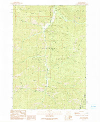
1991 Map of Alta
USGS Topo · Published 1991About this map
The West Fork Bitterroot River carves through the center of this terrain, anchoring a landscape shaped by mining activity and forestry at the Montana-Idaho border. The settlement of Alta serves as a focal point near the Alta Recreation Site, while smaller sites like Cooper Place suggest more isolated habitation. Mining history is evident through the presence of the Lucky Joe Mine and the Copper Queen Mine, alongside various unnamed shafts and adits that point to the region's extractive past. High points such as Thunder Mountain and Wilkerson Ridge define the verticality of the Bitterroot National Forest, where numerous drainages like Hughes Creek and Chicken Creek feed into the primary river system.
Find a feature on this map
34 named features on this map. Tap any name to fly to it.
Don’t see what you’re looking for? This feature index may not catch every label — zoom into the map to look around manually.
Map Details
Editions of this 1991 Alta Map
2 editions found
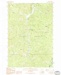
Other maps of this area

1956 · Elk City
USGS Topo · 1:250,000

1960 · Elk City
USGS Topo · 1:250,000

1960 · Painted Rocks Lake
USGS Topo · 1:62,500

1960 · Ulysses Mtn
USGS Topo · 1:62,500

1960 · Shoup
USGS Topo · 1:62,500

1960 · Piquett Mountain
USGS Topo · 1:62,500

1982 · Bighorn Crags
USGS Topo · 1:100,000
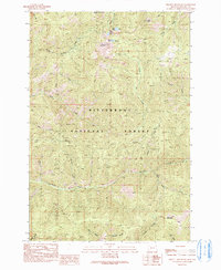
1991 · Piquett Mountain
USGS Topo · 1:24,000

1991 · Horse Creek Pass
USGS Topo · 1:24,000
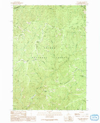
1991 · Tincup Hill
USGS Topo · 1:24,000