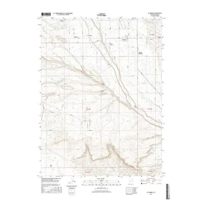
2017 Map of Altamont
USGS Topo · Published 2017About this map
Altamont and Mount Emmons sit at the center of an intricate irrigation network in Duchesne County, where water management defines the high desert landscape. The Lake Fork River serves as the primary artery for the region, feeding a complex system of man-made waterways including the Lake Fork Canal, Boneta Canal, and the Lake Fork Extension Canal. These diversions support the agricultural settlements of Boneta and the surrounding plateau, where the terrain transitions into features like Kuntz Hollow and the expansive Blue Bench. Genealogists will find the Altamont Mount Emmons Cemetery and Boneta Mountain Home Cemetery clearly marked, serving as vital records of the families who settled this part of the Uinta Basin. The grid of rural roads, such as Smiley Rd and Bluebell Rd, illustrates the persistent township and range organization that has governed this area since its early development.
Find a feature on this map
43 named features on this map. Tap any name to fly to it.
Don’t see what you’re looking for? This feature index may not catch every label — zoom into the map to look around manually.
Map Details
Editions of this 2017 Altamont Map
This is the sole edition of this map. No revisions or reprints were ever made.
Other maps of this area

1885 · Uinta
USGS Topo · 1:250,000

1939 · Duchesne
USGS Topo · 1:125,000

1954 · Salt Lake City
USGS Topo · 1:250,000

1958 · Salt Lake City
USGS Topo · 1:250,000

1960 · Salt Lake City
USGS Topo · 1:250,000
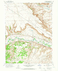
1964 · Duchesne NE
USGS Topo · 1:24,000
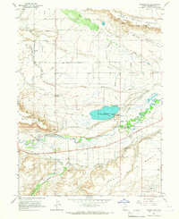
1964 · Bridgeland
USGS Topo · 1:24,000
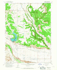
1965 · Bluebell
USGS Topo · 1:24,000
1965 · Mountain Home
USGS Topo · 1:24,000
1965 · Talmage
USGS Topo · 1:24,000