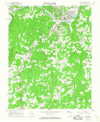
1966 Map of Altavista
USGS Topo · Published 1968About this map
The Roanoke River serves as the dividing line between Campbell and Pittsylvania counties, defining the industrial and civic heart of Altavista during the mid-1960s. This period of expansion is evident in the dense street grid of the northern town compared to the more dispersed settlement of Hurt just across the water. The landscape is anchored by significant infrastructure, including the Norfolk and Western and Southern rail lines, which facilitated the region's movement of goods and people.
Find a feature on this map
40 named features on this map. Tap any name to fly to it.
Don’t see what you’re looking for? This feature index may not catch every label — zoom into the map to look around manually.
Map Details
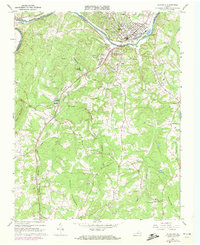
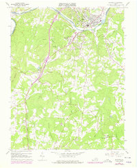
Editions of this 1966 Altavista Map
Other maps of this area

1892 · Lynchburg
USGS Topo · 1:125,000

1921 · Chatham
USGS Topo · 1:48,000

1923 · Chatham
USGS Topo · 1:62,500

1947 · Roanoke
USGS Topo · 1:250,000

1951 · Altavista
USGS Topo · 1:62,500

1953 · Greensboro
USGS Topo · 1:250,000

1954 · Greensboro
USGS Topo · 1:250,000

1954 · Riceville
USGS Topo · 1:62,500

1956 · Gladys
USGS Topo · 1:62,500

1959 · Roanoke
USGS Topo · 1:250,000