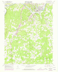
1966 Map of Altavista
USGS Topo · Published 1978About this map
The Roanoke River serves as the dividing line between Campbell and Pittsylvania counties, anchoring a landscape defined by industry and transit during the mid-1960s. The town of Altavista sits prominently along the north bank, featuring infrastructure such as a Filtration Plant and Sewage Disposal Pond, while the settlement of Hurt lies just across the water to the south. Transport is dominated by the intersecting routes of the Norfolk and Western and Southern railroads, which weave through the terrain near Motley and Sycamore. Rural life is evidenced by numerous country churches, including Hundley Ch, Moriah Ch, and Olive Ch. The map shows later 1970s updates in purple, highlighting the development of various trailer parks and the Altavista Country Club as the local community expanded around the foothills of Jasper Mountain and Brushy Mountain.
Find a feature on this map
37 named features on this map. Tap any name to fly to it.
Don’t see what you’re looking for? This feature index may not catch every label — zoom into the map to look around manually.
Map Details
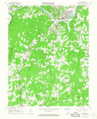
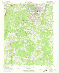
Editions of this 1966 Altavista Map
Other maps of this area

1892 · Lynchburg
USGS Topo · 1:125,000

1921 · Chatham
USGS Topo · 1:48,000

1923 · Chatham
USGS Topo · 1:62,500

1947 · Roanoke
USGS Topo · 1:250,000

1951 · Altavista
USGS Topo · 1:62,500

1953 · Greensboro
USGS Topo · 1:250,000

1954 · Greensboro
USGS Topo · 1:250,000

1954 · Riceville
USGS Topo · 1:62,500

1956 · Gladys
USGS Topo · 1:62,500

1959 · Roanoke
USGS Topo · 1:250,000