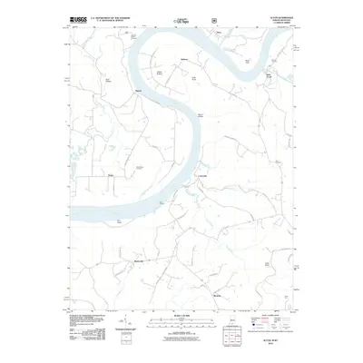
2010 Map of Alton
USGS Topo · Published 2010About this map
The Ohio River carves a massive horseshoe bend through the borderlands of Indiana and Kentucky in this 2010 topographic study. The river defines the local economy and geography, from the high vantage point at Buzzard Roost Overlook to the lowlands of Willets Bottom and Peters Landing. Small riverfront settlements like Alton, Magnet, and Dexter dot the shoreline, connected by winding rural roads that follow the contours of the limestone terrain.
Find a feature on this map
56 named features on this map. Tap any name to fly to it.
Don’t see what you’re looking for? This feature index may not catch every label — zoom into the map to look around manually.
Map Details
Editions of this 2010 Alton Map
This is the sole edition of this map. No revisions or reprints were ever made.
Other maps of this area

1928 · Hardinsburg
USGS Topo · 1:48,000

1931 · Hardinsburg
USGS Topo · 1:62,500

1934 · Cannelton
USGS Topo · 1:62,500

1946 · Leavenworth
USGS Topo · 1:24,000

1947 · Irvington
USGS Topo · 1:24,000

1947 · Lodiburg
USGS Topo · 1:24,000

1947 · Leavenworth
USGS Topo · 1:24,000

1947 · Hardinsburg
USGS Topo · 1:62,500

1950 · Beechwood
USGS Topo · 1:24,000
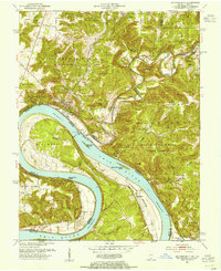
1950 · Leavenworth
USGS Topo · 1:24,000