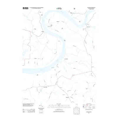
2013 Map of Alton
USGS Topo · Published 2013About this map
The Ohio River carves a massive, serpentine loop through this borderland, defining the sharp bend at Roberta and the high vantage point of Buzzard Roost Overlook. This landscape is characterized by its relationship to the water, where the Little Blue River and Wolf Creek join the main channel. Small settlements and landings like Alton, Magnet, and Peters Landing are linked by a network of winding roads such as Willetts Bottom Rd S, reflecting a topography deeply etched by drainage and hollows.
Find a feature on this map
75 named features on this map. Tap any name to fly to it.
Don’t see what you’re looking for? This feature index may not catch every label — zoom into the map to look around manually.
Map Details
Editions of this 2013 Alton Map
This is the sole edition of this map. No revisions or reprints were ever made.
Other maps of this area

1928 · Hardinsburg
USGS Topo · 1:48,000

1931 · Hardinsburg
USGS Topo · 1:62,500

1934 · Cannelton
USGS Topo · 1:62,500

1946 · Leavenworth
USGS Topo · 1:24,000

1947 · Irvington
USGS Topo · 1:24,000

1947 · Lodiburg
USGS Topo · 1:24,000

1947 · Leavenworth
USGS Topo · 1:24,000

1947 · Hardinsburg
USGS Topo · 1:62,500

1950 · Beechwood
USGS Topo · 1:24,000
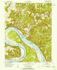
1950 · Leavenworth
USGS Topo · 1:24,000