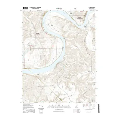
2016 Map of Alton
USGS Topo · Published 2016About this map
The Ohio River carves a massive, sweeping oxbow around Little Bend and Willets Bottom, defining the boundary between Indiana and Kentucky. This riparian landscape is punctuated by steep bluffs and ridges like The Knob and Buzzard Roost, while the interior of the bend contains the airstrip at Eagle's Nest Airport. Much of the northern terrain is managed as part of the Hoosier National Forest, preserving the wooded character of areas like Dark Hollow and Boone Hollow.
Find a feature on this map
77 named features on this map. Tap any name to fly to it.
Don’t see what you’re looking for? This feature index may not catch every label — zoom into the map to look around manually.
Map Details
Editions of this 2016 Alton Map
This is the sole edition of this map. No revisions or reprints were ever made.
Other maps of this area

1928 · Hardinsburg
USGS Topo · 1:48,000

1931 · Hardinsburg
USGS Topo · 1:62,500

1934 · Cannelton
USGS Topo · 1:62,500

1946 · Leavenworth
USGS Topo · 1:24,000

1947 · Irvington
USGS Topo · 1:24,000

1947 · Lodiburg
USGS Topo · 1:24,000

1947 · Leavenworth
USGS Topo · 1:24,000

1947 · Hardinsburg
USGS Topo · 1:62,500

1950 · Beechwood
USGS Topo · 1:24,000
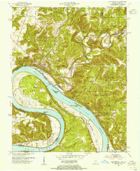
1950 · Leavenworth
USGS Topo · 1:24,000