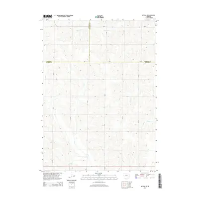
2014 Map of Altona SE
USGS Topo · Published 2014About this map
The rolling agricultural landscape where Wayne, Thurston, and Cuming counties converge is defined by a dendritic network of intermittent streams. The drainage pattern is led by the meandering path of Rattlesnake Creek in the north and the southern reaches of Plum Creek, which are supported by a system of smaller waterways like Stage Creek and Kane Creek. A significant human modification to the natural hydrology is visible in the far south with Dry Ditch, indicating historical efforts to manage local drainage for cultivation. The map also reveals a rigid section-line road grid, including Ne-51 and Ne-16, that dictates the layout of modern farmsteads and rural properties across these three Nebraska counties.
Find a feature on this map
28 named features on this map. Tap any name to fly to it.
Don’t see what you’re looking for? This feature index may not catch every label — zoom into the map to look around manually.
Map Details
Editions of this 2014 Altona SE Map
This is the sole edition of this map. No revisions or reprints were ever made.
Other maps of this area

1955 · Sioux City
USGS Topo · 1:250,000

1955 · Fremont
USGS Topo · 1:250,000

1957 · Fremont
USGS Topo · 1:250,000

1958 · Sioux City
USGS Topo · 1:250,000

1958 · Fremont
USGS Topo · 1:250,000

1959 · Sioux City
USGS Topo · 1:250,000

1963 · Wisner
USGS Topo · 1:24,000

1963 · Altona
USGS Topo · 1:24,000

1966 · Altona NW
USGS Topo · 1:24,000

1966 · West Point NW
USGS Topo · 1:24,000