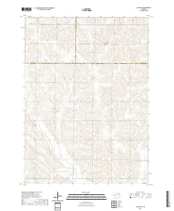
2021 Map of Altona SE
USGS Topo · Published 2021About this map
Rolling agricultural lands along the border of Cuming, Wayne, and Thurston counties define this part of the Nebraska landscape. The terrain is marked by a network of drainage ways and creeks, including Rattlesnake Cr in the north and east and Plum Cr traversing the southern sections. A distinct grid of section roads like 848th Rd and Road S organizes the rural territory, reflecting the long-established Public Land Survey System structure of t23n r5e and t23n r6e.
Find a feature on this map
31 named features on this map. Tap any name to fly to it.
Don’t see what you’re looking for? This feature index may not catch every label — zoom into the map to look around manually.
Map Details
Editions of this 2021 Altona SE Map
This is the sole edition of this map. No revisions or reprints were ever made.
Other maps of this area

1955 · Sioux City
USGS Topo · 1:250,000

1955 · Fremont
USGS Topo · 1:250,000

1957 · Fremont
USGS Topo · 1:250,000

1958 · Sioux City
USGS Topo · 1:250,000

1958 · Fremont
USGS Topo · 1:250,000

1959 · Sioux City
USGS Topo · 1:250,000

1963 · Wisner
USGS Topo · 1:24,000

1963 · Altona
USGS Topo · 1:24,000

1966 · Altona NW
USGS Topo · 1:24,000

1966 · West Point NW
USGS Topo · 1:24,000