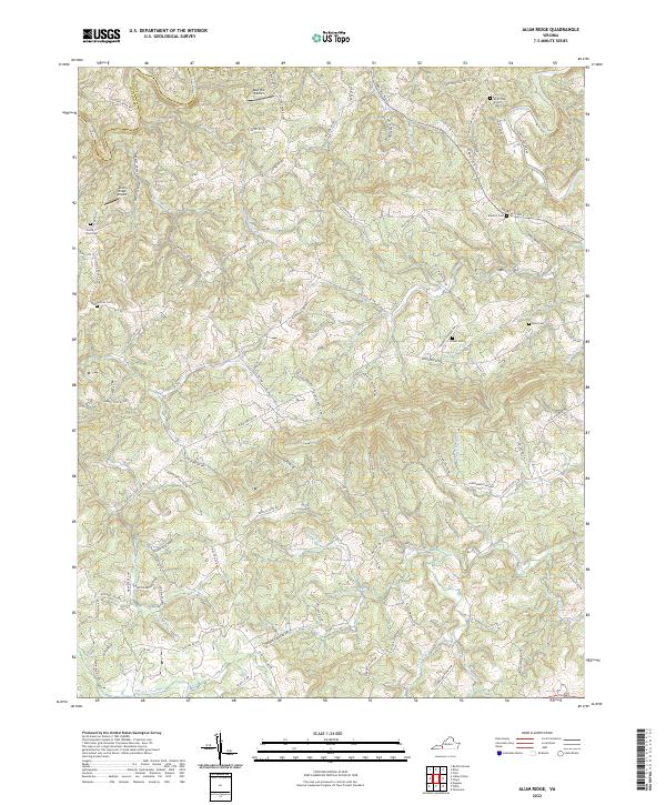
2022 Map of Alum Ridge
USGS Topo · Published 2022About this map
Little River and its various tributaries, including the W Fork Little River, carve through the high-elevation landscape of the Floyd and Montgomery county border. The area is characterized by a network of ridges such as Chestnut Ridge and Payne Mountain, which dictate the winding paths of rural roads and isolated settlements. Local history is preserved in several family and community burial grounds, such as White Oak Grove Church Cem, Mannon Cem, and Sowers Cem. Aviation infrastructure is represented by small landing strips like Deer Run Airport and Alum Ridge Airport, highlighting the region's reliance on localized transport. The drainage patterns of Spurlock Cr and Big Indian Cr illustrate the complex watershed that defines this portion of the Blue Ridge highlands.
Find a feature on this map
94 named features on this map. Tap any name to fly to it.
Don’t see what you’re looking for? This feature index may not catch every label — zoom into the map to look around manually.
Map Details
Editions of this 2022 Alum Ridge Map
This is the sole edition of this map. No revisions or reprints were ever made.
Other maps of this area

1889 · Hillsville
USGS Topo · 1:125,000

1890 · Dublin
USGS Topo · 1:125,000

1890 · Christiansburg
USGS Topo · 1:125,000

1891 · Dublin
USGS Topo · 1:125,000

1892 · Hillsville
USGS Topo · 1:125,000

1896 · Hillsville
USGS Topo · 1:125,000

1932 · Blacksburg
USGS Topo · 1:48,000

1937 · Blacksburg
USGS Topo · 1:62,500

1950 · Radford
USGS Topo · 1:62,500

1953 · Winston-Salem
USGS Topo · 1:250,000