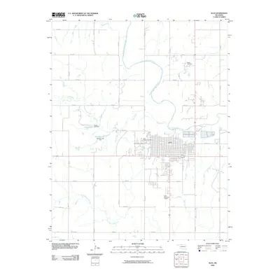
2009 Map of Alva
USGS Topo · Published 2009About this map
The Alva townsite sits at the heart of this landscape, positioned north of the winding Salt Fork Arkansas River. The 2009 topography reveals a transition between the established grid of the city and the surrounding agricultural tracts defined by numbered section roads. Local burial grounds, including Alva Municipal Cemetery and Sacred Heart Cemetery, provide touchpoints for genealogical research on the northern edge of the settlement. Water management is a defining characteristic of the terrain, with multiple reservoirs such as Discon Lake and Bouziden Lake created by structures like the Bouziden Lake Dam. To the south, the Alva Municipal Airport and waterways like Little Eagle Chief Creek illustrate the continued development and utility of the land in the early 21st century.
Find a feature on this map
31 named features on this map. Tap any name to fly to it.
Don’t see what you’re looking for? This feature index may not catch every label — zoom into the map to look around manually.
Map Details
Editions of this 2009 Alva Map
This is the sole edition of this map. No revisions or reprints were ever made.
Other maps of this area

1955 · Woodward
USGS Topo · 1:250,000

1958 · Woodward
USGS Topo · 1:250,000

1968 · Capron
USGS Topo · 1:24,000

1969 · Dacoma
USGS Topo · 1:24,000

1969 · Tegarden NE
USGS Topo · 1:24,000

1969 · Tegarden SE
USGS Topo · 1:24,000

1969 · Alva SE
USGS Topo · 1:24,000

1969 · Hopeton
USGS Topo · 1:24,000

1969 · Avard
USGS Topo · 1:24,000

1969 · Alva NW
USGS Topo · 1:24,000