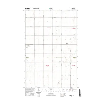
2016 Map of Alvarado
USGS Topo · Published 2016About this map
The Snake River winds across this section of the Red River Valley, carving a path through the flat agricultural landscape along the border of Marshall Co and Polk Co. The settlement of March serves as a local landmark in a region defined by its precise grid of section roads and expansive fields. This survey illustrates the rural organization of the early 21st century, where large-scale farming dominates the landscape, yet the locations of several community burial grounds such as Oak Lawn Cem, Vega Cem, and Nyskoga Cem preserve the genealogy of the area's earlier generations. Infrastructure like Co Hwy 10 and Co Hwy 21 provides the primary transit network for this corner of northwestern Minnesota.
Find a feature on this map
33 named features on this map. Tap any name to fly to it.
Don’t see what you’re looking for? This feature index may not catch every label — zoom into the map to look around manually.
Map Details
Editions of this 2016 Alvarado Map
This is the sole edition of this map. No revisions or reprints were ever made.
Other maps of this area

1918 · Acton
USGS Topo · 1:62,500

1918 · Argyle
USGS Topo · 1:62,500

1918 · Warren
USGS Topo · 1:62,500

1952 · Thief River Falls
USGS Topo · 1:250,000

1954 · Stephen
USGS Topo · 1:62,500

1955 · Warren
USGS Topo · 1:62,500

1956 · Thief River Falls
USGS Topo · 1:250,000

1957 · Thief River Falls
USGS Topo · 1:250,000
1966 · Oslo NE
USGS Topo · 1:24,000
1966 · Big Woods
USGS Topo · 1:24,000