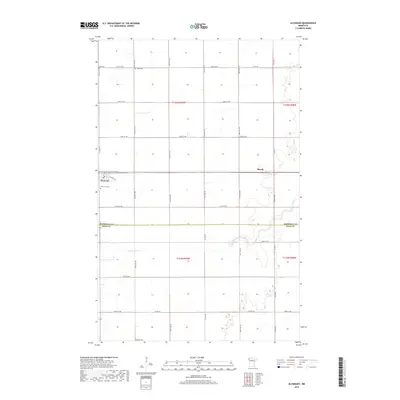
2019 Map of Alvarado
USGS Topo · Published 2019About this map
Alvarado serves as the primary hub of this Red River Valley landscape, situated just north of the Marshall Co Polk Co line. This 2019 survey illustrates a highly organized agricultural grid, where the winding course of the Snake River provides a sharp natural contrast to the geometric section lines of the Public Land Survey System. The river meanders across the southern half of the map, cutting through townships including t154n r49w and t154n r48w. Local history and genealogy are anchored by several established burial grounds, including Oak Lawn Cem on the outskirts of town, Vega Cem to the north, and Nyskoga Cem near the southern boundary. The small settlement of March appears further east along the river, connected by a network of rural routes such as Co Hwy 10 and Co RD 103 that define the movement of goods and people across these prairie lands.
Find a feature on this map
28 named features on this map. Tap any name to fly to it.
Don’t see what you’re looking for? This feature index may not catch every label — zoom into the map to look around manually.
Map Details
Editions of this 2019 Alvarado Map
This is the sole edition of this map. No revisions or reprints were ever made.
Other maps of this area

1918 · Acton
USGS Topo · 1:62,500

1918 · Argyle
USGS Topo · 1:62,500

1918 · Warren
USGS Topo · 1:62,500

1952 · Thief River Falls
USGS Topo · 1:250,000

1954 · Stephen
USGS Topo · 1:62,500

1955 · Warren
USGS Topo · 1:62,500

1956 · Thief River Falls
USGS Topo · 1:250,000

1957 · Thief River Falls
USGS Topo · 1:250,000
1966 · Oslo NE
USGS Topo · 1:24,000
1966 · Big Woods
USGS Topo · 1:24,000