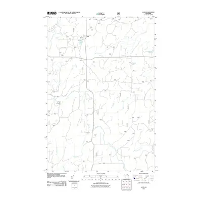
2011 Map of Alvin
USGS Topo · Published 2011About this map
Alvin sits at the heart of this Northwoods landscape, where the North Branch Pine River and Pine River carve through the glacial terrain of Forest County. This 2011 survey documents a region defined by its water and forestry history, with several distinctive lakes including May Lake, Onimish Lake, and Killborn Lake scattered across the quadrangle. The settlement of Alvin is anchored by Lakeview Cemetery to the northwest, while the Pine River Lookout Tower stands as a reminder of fire management practices in the dense timberlands. Outdoor recreation and land management are evident through features like the Windsor Dam Campground and an extensive network of forest roads such as Fire Tower Rd and Windsor Dam Rd. The map provides a clear record of the watershed, showing how Lilypad Creek and Meadowbrook Creek feed into the larger river systems that define this part of northern Wisconsin.
Find a feature on this map
27 named features on this map. Tap any name to fly to it.
Don’t see what you’re looking for? This feature index may not catch every label — zoom into the map to look around manually.
Map Details
Editions of this 2011 Alvin Map
This is the sole edition of this map. No revisions or reprints were ever made.
Other maps of this area

1898 · Iron River
USGS Topo · 1:62,500

1938 · Alvin
USGS Topo · 1:48,000

1939 · Long Lake
USGS Topo · 1:48,000

1944 · Iron River
USGS Topo · 1:24,000

1946 · Iron River
USGS Topo · 1:31,680

1946 · Alvin
USGS Topo · 1:48,000

1948 · Long Lake
USGS Topo · 1:48,000

1954 · Iron Mountain
USGS Topo · 1:250,000

1956 · Beechwood
USGS Topo · 1:62,500

1958 · Iron River
USGS Topo · 1:250,000