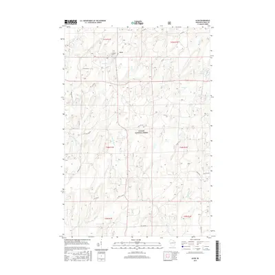
2015 Map of Alvin
USGS Topo · Published 2015About this map
The small settlement of Alvin serves as the focal point for this survey of the Northwoods, situated at the intersection of several forest roads and local routes. Nearby, Lakeview Cem provides a point of interest for genealogists researching the families who established themselves in this timber-rich region. The landscape is defined by the dense canopy of the Nicolet National Forest, which is crisscrossed by a network of waterways and glacial features. The Pine River and its various tributaries, including the North Br Pine River and N Br Pine River, flow through the township, carving paths through the wooded terrain. Scattered throughout the forest are numerous water bodies and natural springs such as May Lake, Onimish Lake, and Charbe Otto Spring. This map details the established forest road system, including Forest Rd 2410 and Carey Dam Rd, which reflects the managed nature of the surrounding national forest lands.
Find a feature on this map
39 named features on this map. Tap any name to fly to it.
Don’t see what you’re looking for? This feature index may not catch every label — zoom into the map to look around manually.
Map Details
Editions of this 2015 Alvin Map
This is the sole edition of this map. No revisions or reprints were ever made.
Other maps of this area

1898 · Iron River
USGS Topo · 1:62,500

1938 · Alvin
USGS Topo · 1:48,000

1939 · Long Lake
USGS Topo · 1:48,000

1944 · Iron River
USGS Topo · 1:24,000

1946 · Iron River
USGS Topo · 1:31,680

1946 · Alvin
USGS Topo · 1:48,000

1948 · Long Lake
USGS Topo · 1:48,000

1954 · Iron Mountain
USGS Topo · 1:250,000

1956 · Beechwood
USGS Topo · 1:62,500

1958 · Iron River
USGS Topo · 1:250,000