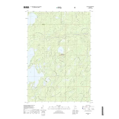
2018 Map of Alvin NW
USGS Topo · Published 2018About this map
The Nicolet National Forest dominates this landscape along the border of Vilas and Forest counties. This glacial terrain is defined by a dense network of water bodies, including Kentuck Lake, Howell Lake, and the connected Luna Lake and White Deer Lake. The map reveals a land utilized for seasonal recreation and timber management, crisscrossed by specialized routes such as the Forest Co Snowmobile trails and forest service roads like fdr6131104.
Find a feature on this map
78 named features on this map. Tap any name to fly to it.
Don’t see what you’re looking for? This feature index may not catch every label — zoom into the map to look around manually.
Map Details
Editions of this 2018 Alvin NW Map
This is the sole edition of this map. No revisions or reprints were ever made.
Other maps of this area
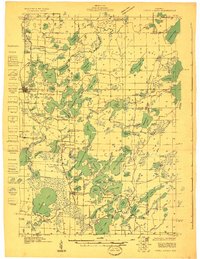
1928 · Three Lakes
USGS Topo · 1:48,000
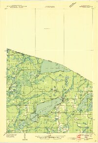
1938 · Phelps
USGS Topo · 1:48,000
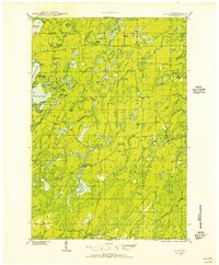
1938 · Alvin
USGS Topo · 1:48,000
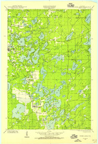
1938 · Three Lakes
USGS Topo · 1:48,000
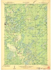
1945 · Three Lakes
USGS Topo · 1:48,000
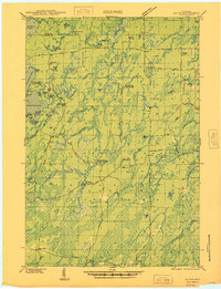
1946 · Alvin
USGS Topo · 1:48,000
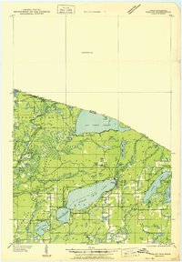
1950 · Phelps
USGS Topo · 1:48,000

1954 · Iron Mountain
USGS Topo · 1:250,000
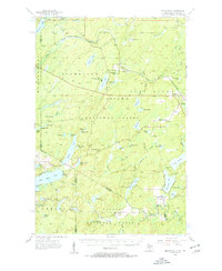
1956 · Beechwood
USGS Topo · 1:62,500
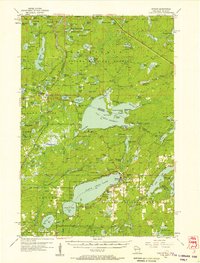
1956 · Phelps
USGS Topo · 1:62,500