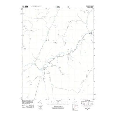
2011 Map of Alvon
USGS Topo · Published 2011About this map
Anthony Creek winds through this section of Greenbrier County, serving as the primary drainage for a landscape defined by deep hollows and named drafts. Small settlements like Neola, Shryock, and Alvon are tucked into the valley floors, connected by mountain roads including Waggoner Mt Rd and Whites Draft. The presence of the Neola Post Office and the Hopkins Mountain Lookout Tower indicates a region where government administration and forest management have long shaped the local economy.
Find a feature on this map
45 named features on this map. Tap any name to fly to it.
Don’t see what you’re looking for? This feature index may not catch every label — zoom into the map to look around manually.
Map Details
Editions of this 2011 Alvon Map
This is the sole edition of this map. No revisions or reprints were ever made.
Other maps of this area

1887 · Lewisburg
USGS Topo · 1:125,000

1891 · Lewisburg
USGS Topo · 1:125,000

1891 · Huntersville
USGS Topo · 1:125,000

1894 · Huntersville
USGS Topo · 1:125,000

1921 · Callaghan
USGS Topo · 1:48,000

1921 · White Sulphur Springs
USGS Topo · 1:48,000

1923 · Lobelia
USGS Topo · 1:48,000

1923 · White Sulphur Springs
USGS Topo · 1:62,500

1923 · Marlinton
USGS Topo · 1:48,000

1923 · Callaghan
USGS Topo · 1:62,500