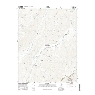
2016 Map of Alvon
USGS Topo · Published 2016About this map
Anthony Creek meanders through a landscape defined by sharp ridges and complex drainage patterns along the West Virginia and Virginia border. The area is anchored by small settlements such as Alvon and Neola, where local geography is deeply tied to named water sources like Anthony Cave Spring and Alvon Spring Number 1. The terrain is marked by numerous "drafts" and "hollows" that reflect early mountain nomenclature, including Whites Draft, Whitmans Draft, and Lisa Jane Hollow. Evidence of historic local industry is preserved in place names like Steam Mill Hollow. The map also details the interface between the Monongahela National Forest and the George Washington National Forest, with the high peaks of Coles Mtn and Beaver Lick Mtn overlooking the valley floor.
Find a feature on this map
54 named features on this map. Tap any name to fly to it.
Don’t see what you’re looking for? This feature index may not catch every label — zoom into the map to look around manually.
Map Details
Editions of this 2016 Alvon Map
This is the sole edition of this map. No revisions or reprints were ever made.
Other maps of this area

1887 · Lewisburg
USGS Topo · 1:125,000

1891 · Lewisburg
USGS Topo · 1:125,000

1891 · Huntersville
USGS Topo · 1:125,000

1894 · Huntersville
USGS Topo · 1:125,000

1921 · Callaghan
USGS Topo · 1:48,000

1921 · White Sulphur Springs
USGS Topo · 1:48,000

1923 · Lobelia
USGS Topo · 1:48,000

1923 · White Sulphur Springs
USGS Topo · 1:62,500

1923 · Marlinton
USGS Topo · 1:48,000

1923 · Callaghan
USGS Topo · 1:62,500