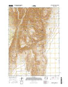
2017 Map of Alvord Hot Springs
USGS Topo · Published 2017About this map
Steens Mtn dominates the western topography of this quadrangle, giving way to the dramatic drainage systems that feed into the basin below. The transition from the high ridges of Wildhorse Canyon and Wildhorse Valley to the flat expanse of the Alvord Desert represents a classic Great Basin environment. Key water sources like Belzar Spring and various creeks, including Little Wildhorse Cr and Big Alvord Cr, flow eastward from the mountainside toward the desert floor.
Find a feature on this map
24 named features on this map. Tap any name to fly to it.
Don’t see what you’re looking for? This feature index may not catch every label — zoom into the map to look around manually.
Map Details
Editions of this 2017 Alvord Hot Springs Map
This is the sole edition of this map. No revisions or reprints were ever made.
Other maps of this area

1955 · Adel
USGS Topo · 1:250,000

1957 · Adel
USGS Topo · 1:250,000

1958 · Adel
USGS Topo · 1:250,000

1962 · Adel
USGS Topo · 1:250,000

1968 · Fish Lake
USGS Topo · 1:24,000

1968 · Wildhorse Lake
USGS Topo · 1:24,000

1968 · Alvord Hot Springs
USGS Topo · 1:24,000

1968 · Ankle Creek
USGS Topo · 1:24,000

1971 · Andrews
USGS Topo · 1:24,000

1971 · V Lake
USGS Topo · 1:24,000