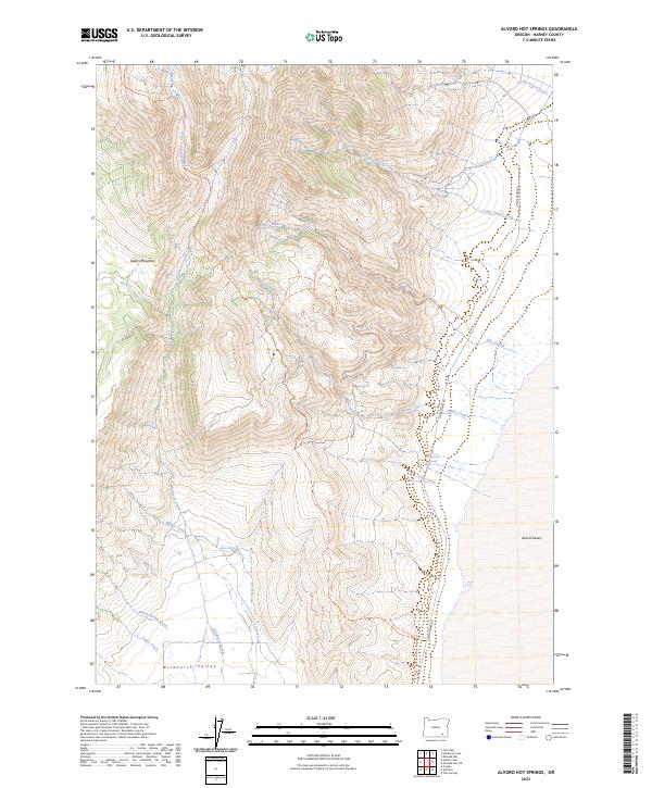
2023 Map of Alvord Hot Springs
USGS Topo · Published 2023About this map
Alvord Hot Springs sits at the dramatic transition where the massive fault-block of Steens Mountain meets the playa of the Alvord Desert. This landscape is defined by extreme verticality and the precious movement of water through an arid environment. Protected areas like the Steens Mountain Wilderness and the Wildhorse and Kinzier Creeks Wild and Scenic River underscore the region's status as a preserved high-desert ecosystem.
Find a feature on this map
29 named features on this map. Tap any name to fly to it.
Don’t see what you’re looking for? This feature index may not catch every label — zoom into the map to look around manually.
Map Details
Editions of this 2023 Alvord Hot Springs Map
This is the sole edition of this map. No revisions or reprints were ever made.
Other maps of this area

1955 · Adel
USGS Topo · 1:250,000

1957 · Adel
USGS Topo · 1:250,000

1958 · Adel
USGS Topo · 1:250,000

1962 · Adel
USGS Topo · 1:250,000

1968 · Fish Lake
USGS Topo · 1:24,000

1968 · Wildhorse Lake
USGS Topo · 1:24,000

1968 · Alvord Hot Springs
USGS Topo · 1:24,000

1968 · Ankle Creek
USGS Topo · 1:24,000

1971 · Andrews
USGS Topo · 1:24,000

1971 · V Lake
USGS Topo · 1:24,000