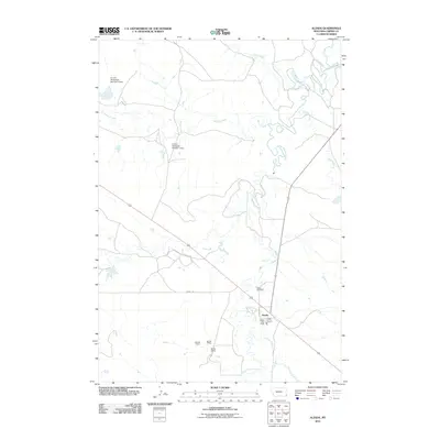
2011 Map of Alzada
USGS Topo · Published 2011About this map
Alzada sits at the convergence of vital watercourses and early 21st-century infrastructure in the southeastern corner of Montana. The settlement is centered on O'Fallon St, serving as a localized hub with the Alzada Post Office and Alzada Vol Fire Control facility. The surrounding landscape is defined by the winding path of the Little Missouri River and its various tributaries, including Arkansas Creek, Fivemile Creek, and Willow Creek.
Find a feature on this map
20 named features on this map. Tap any name to fly to it.
Don’t see what you’re looking for? This feature index may not catch every label — zoom into the map to look around manually.
Map Details
Editions of this 2011 Alzada Map
This is the sole edition of this map. No revisions or reprints were ever made.
Other maps of this area

1901 · Aladdin
USGS Topo · 1:125,000

1903 · Aladdin
USGS Topo · 1:125,000

1905 · Devils Tower
USGS Topo · 1:125,000

1954 · Ekalaka
USGS Topo · 1:250,000

1954 · Gillette
USGS Topo · 1:250,000

1955 · Gillette
USGS Topo · 1:250,000

1956 · Ekalaka
USGS Topo · 1:250,000

1957 · Mona
USGS Topo · 1:62,500

1957 · Seely
USGS Topo · 1:62,500

1958 · Gillette
USGS Topo · 1:250,000