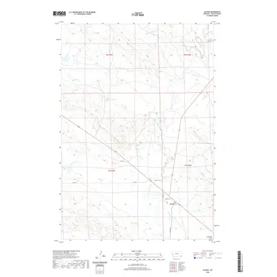
2020 Map of Alzada
USGS Topo · Published 2020About this map
The Little Missouri River meanders across this southeastern Montana landscape, providing a critical waterway for the small settlement of Alzada. This 2020 survey illustrates a region defined by its hydrography, where numerous drainages such as Sevenmile Cr, Fivemile Cr, and Thompson Cr carve through the terrain before reaching the river valley. The town of Alzada serves as a focal point for the local road network, including Grant Ave and O'Fallon St, which connect the community to the surrounding plains. To the south, the flat expanse of Stoneville Flats provides a contrast to the river-cut valleys. This map is a valuable resource for those researching family history in Carter County, specifically for locating the Alzada Cem and tracing the rural routes like Arpan Rd and Hulett Rd that have long served the ranching community.
Find a feature on this map
19 named features on this map. Tap any name to fly to it.
Don’t see what you’re looking for? This feature index may not catch every label — zoom into the map to look around manually.
Map Details
Editions of this 2020 Alzada Map
This is the sole edition of this map. No revisions or reprints were ever made.
Other maps of this area
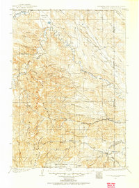
1901 · Aladdin
USGS Topo · 1:125,000
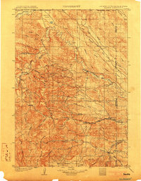
1903 · Aladdin
USGS Topo · 1:125,000
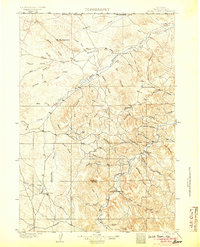
1905 · Devils Tower
USGS Topo · 1:125,000
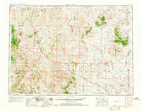
1954 · Ekalaka
USGS Topo · 1:250,000
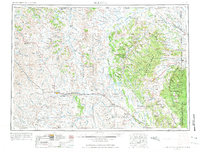
1954 · Gillette
USGS Topo · 1:250,000
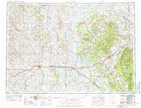
1955 · Gillette
USGS Topo · 1:250,000
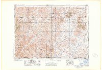
1956 · Ekalaka
USGS Topo · 1:250,000
1957 · Mona
USGS Topo · 1:62,500
1957 · Seely
USGS Topo · 1:62,500
1958 · Gillette
USGS Topo · 1:250,000