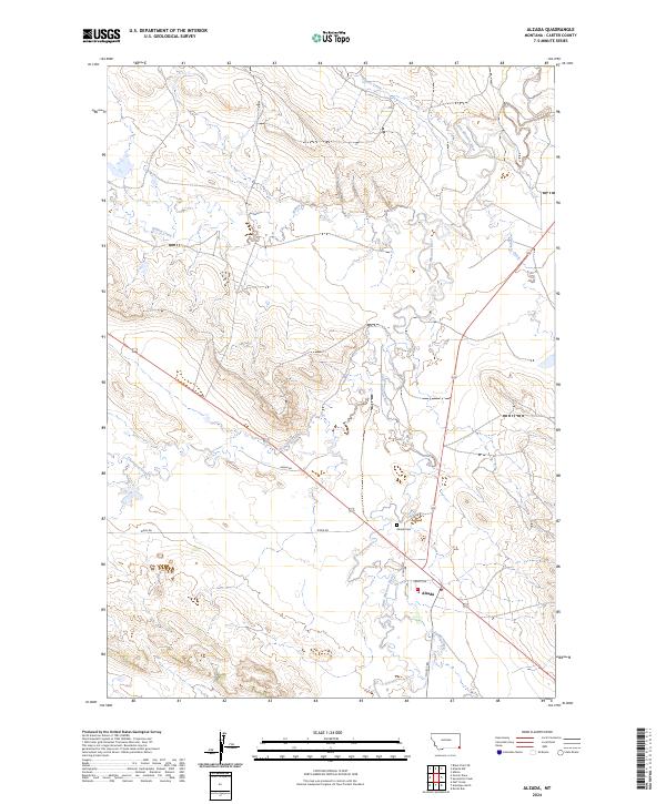
2024 Map of Alzada
USGS Topo · Published 2024About this map
Alzada serves as the primary hub in this corner of Carter County, situated where the Little Missouri River meets a network of local transit routes. The settlement's infrastructure includes a Po and the nearby Alzada Cem, reflecting its role as a long-standing community center for the surrounding ranching landscape. The topography is defined by the winding course of the river and its numerous tributaries, including Willow Creek, Thompson Creek, and Fivemile Creek.
Find a feature on this map
18 named features on this map. Tap any name to fly to it.
Don’t see what you’re looking for? This feature index may not catch every label — zoom into the map to look around manually.
Map Details
Editions of this 2024 Alzada Map
This is the sole edition of this map. No revisions or reprints were ever made.
Other maps of this area

1901 · Aladdin
USGS Topo · 1:125,000

1903 · Aladdin
USGS Topo · 1:125,000

1905 · Devils Tower
USGS Topo · 1:125,000

1954 · Ekalaka
USGS Topo · 1:250,000

1954 · Gillette
USGS Topo · 1:250,000

1955 · Gillette
USGS Topo · 1:250,000

1956 · Ekalaka
USGS Topo · 1:250,000

1957 · Mona
USGS Topo · 1:62,500

1957 · Seely
USGS Topo · 1:62,500

1958 · Gillette
USGS Topo · 1:250,000