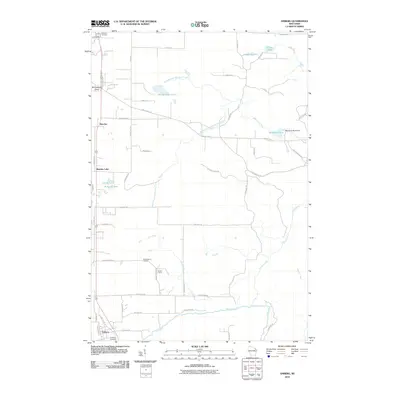
2010 Map of Amberg
USGS Topo · Published 2010About this map
Industrial granite extraction and a complex network of glacial waterways define this portion of Marinette County. Reformatory Quarry and Munot Quarry stand as significant landmarks along Mundt Quarry Rd, highlighting the region's long-standing reliance on stone quarrying. The settlement of Amberg occupies the southwestern corner near the Pike River, while Beecher sits further north along the primary highway corridor.
Find a feature on this map
62 named features on this map. Tap any name to fly to it.
Don’t see what you’re looking for? This feature index may not catch every label — zoom into the map to look around manually.
Map Details
Editions of this 2010 Amberg Map
This is the sole edition of this map. No revisions or reprints were ever made.
Other maps of this area

1939 · Pembine
USGS Topo · 1:48,000

1939 · Dunbar
USGS Topo · 1:48,000

1940 · Athelstane
USGS Topo · 1:48,000

1941 · Dunbar
USGS Topo · 1:48,000

1942 · Athelstane
USGS Topo · 1:48,000

1942 · Wausaukee
USGS Topo · 1:48,000

1947 · Pembine
USGS Topo · 1:48,000

1947 · Dunbar
USGS Topo · 1:48,000

1947 · Wausaukee
USGS Topo · 1:48,000

1954 · Iron Mountain
USGS Topo · 1:250,000