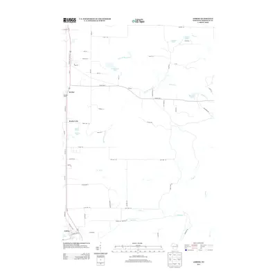
2013 Map of Amberg
USGS Topo · Published 2013About this map
Beecher and Amberg serve as the primary hubs in this Marinette County landscape, anchored by a complex network of waterways and rural roads. The northern portion of the map is defined by the basins of Luedevitz Lake, Cotas Lake, and Headquarters Lake, which feed into the branches of Miscauno Cr. To the south, the Pike River winds through the terrain, joined by smaller tributaries like K C Cr and Slough Cr. This modern survey reveals a landscape where historical land use persists through named corridors such as Cemetery Rd and Cole School Rd, reflecting the community's civic foundations. The presence of Red Roof Airport near Beecher Lake highlights the integration of light aviation into this northern Wisconsin region, while the numerous fire lanes and quarry roads suggest a territory defined by forestry and local industry.
Find a feature on this map
65 named features on this map. Tap any name to fly to it.
Don’t see what you’re looking for? This feature index may not catch every label — zoom into the map to look around manually.
Map Details
Editions of this 2013 Amberg Map
This is the sole edition of this map. No revisions or reprints were ever made.
Other maps of this area

1939 · Pembine
USGS Topo · 1:48,000

1939 · Dunbar
USGS Topo · 1:48,000

1940 · Athelstane
USGS Topo · 1:48,000

1941 · Dunbar
USGS Topo · 1:48,000

1942 · Athelstane
USGS Topo · 1:48,000

1942 · Wausaukee
USGS Topo · 1:48,000

1947 · Pembine
USGS Topo · 1:48,000

1947 · Dunbar
USGS Topo · 1:48,000

1947 · Wausaukee
USGS Topo · 1:48,000

1954 · Iron Mountain
USGS Topo · 1:250,000