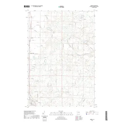
2018 Map of Amberg
USGS Topo · Published 2018About this map
Amberg and Beecher anchor this modern survey of Marinette County, illustrating a landscape defined by Northwoods water systems and rural settlement patterns. The southern portion of the map is dominated by the winding course of the Pike River, while the central and northern areas are pocketed with small lakes and ponds, including Clarey Lake, Mullaney Lake, and the larger Luedewitz Lake near the northern boundary. The road network is a mixture of established county routes like Co Rd Z and numerous local tracks such as Breezewood Ln and Hatelak Dr, reflecting the area's ongoing use for residential and perhaps seasonal recreation.
Find a feature on this map
82 named features on this map. Tap any name to fly to it.
Don’t see what you’re looking for? This feature index may not catch every label — zoom into the map to look around manually.
Map Details
Editions of this 2018 Amberg Map
This is the sole edition of this map. No revisions or reprints were ever made.
Other maps of this area

1939 · Pembine
USGS Topo · 1:48,000

1939 · Dunbar
USGS Topo · 1:48,000

1940 · Athelstane
USGS Topo · 1:48,000

1941 · Dunbar
USGS Topo · 1:48,000

1942 · Athelstane
USGS Topo · 1:48,000

1942 · Wausaukee
USGS Topo · 1:48,000

1947 · Pembine
USGS Topo · 1:48,000

1947 · Dunbar
USGS Topo · 1:48,000

1947 · Wausaukee
USGS Topo · 1:48,000

1954 · Iron Mountain
USGS Topo · 1:250,000