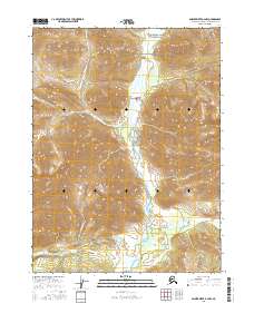
2016 Map of Ambler River B-2 NW
USGS Topo · Published 2016About this map
The Ambler River winds through the heart of this landscape, its braided channels and gravel bars defining the valley floor within the Gates Of The Arctic National Park. Flanked by high ridgelines, the drainage system is supported by tributaries like Ulancak Cr and Kalurivik Cr, which flow from the steep, contoured slopes of the surrounding Brooks Range. The map illustrates a remote wilderness where the natural hydrology remains the primary structural element, largely undisturbed by infrastructure or permanent settlement. This survey provides a baseline for the northern interior's topography, where elevation changes are sharp and the river serves as the central artery for movement and seasonal environmental shifts in the Arctic.
Find a feature on this map
8 named features on this map. Tap any name to fly to it.
Don’t see what you’re looking for? This feature index may not catch every label — zoom into the map to look around manually.
Map Details
Editions of this 2016 Ambler River B-2 NW Map
This is the sole edition of this map. No revisions or reprints were ever made.
Other maps of this area

1951 · Ambler River
USGS Topo · 1:250,000

1956 · Ambler River
USGS Topo · 1:250,000

1964 · Ambler River
USGS Topo · 1:250,000
1990 · Ambler River B-3
USGS Topo · 1:63,360
1990 · Ambler River B-2
USGS Topo · 1:63,360
1990 · Ambler River C-2
USGS Topo · 1:63,360
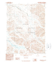
1990 · Ambler River C-3
USGS Topo · 1:63,360
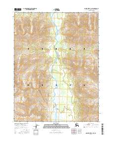
2016 · Ambler River B-2 SW
USGS Topo · 1:25,000
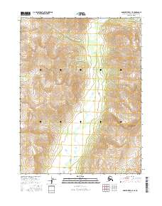
2016 · Ambler River B-3 SE
USGS Topo · 1:25,000
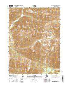
2016 · Ambler River B-3 NE
USGS Topo · 1:25,000