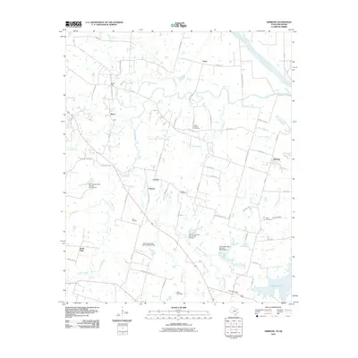
2010 Map of Ambrose
USGS Topo · Published 2010About this map
Red River frontage and the winding course of Choctaw Creek define this landscape north of Denison in 2010. The area is characterized by a network of rural settlements including Ambrose, South Gate, and Smith Oaks, connected by a web of local routes such as FM 1753 and Carpenters Bluff Rd. A series of water management sites are documented across the terrain, including Stern Lake Dam and several Soil Conservation Service structures like Site 32 Dam. For local historians and genealogists, the map identifies numerous family and community burial grounds, such as Cherry Mound Cemetery, Dugan Cemetery, and Isom Cemetery. The drainage patterns of Mill Creek, Sandy Creek, and Corneliason Creek illustrate the watershed feeding into Valley Lake in the southeast corner, reflecting the agricultural and conservation-focused layout of Grayson County during this period.
Find a feature on this map
67 named features on this map. Tap any name to fly to it.
Don’t see what you’re looking for? This feature index may not catch every label — zoom into the map to look around manually.
Map Details
Editions of this 2010 Ambrose Map
This is the sole edition of this map. No revisions or reprints were ever made.
Other maps of this area

1901 · Denison
USGS Topo · 1:125,000

1954 · Sherman
USGS Topo · 1:250,000

1957 · Denison Dam
USGS Topo · 1:24,000

1958 · Durant
USGS Topo · 1:62,500

1958 · Whitesright
USGS Topo · 1:62,500

1958 · Denison Dam
USGS Topo · 1:62,500

1958 · Sherman
USGS Topo · 1:250,000

1958 · Sherman
USGS Topo · 1:62,500

1958 · Sherman
USGS Topo · 1:24,000

1958 · Howe
USGS Topo · 1:24,000