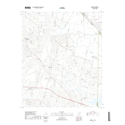
2019 Map of Ambrose
USGS Topo · Published 2019About this map
Choctaw Creek and its many tributaries, including Corneliason Cr and Sand Cr, define the drainage patterns of this Grayson County landscape near the Oklahoma border. The map captures a transition from the eastern edge of Denison to the smaller rural communities of Ambrose and Penland. Historically significant sites for genealogists include several family and community burial grounds such as Cherry Mound Cem, Dugan Cem, and Bush Cem, which are situated among the winding country roads and farmsteads.
Find a feature on this map
91 named features on this map. Tap any name to fly to it.
Don’t see what you’re looking for? This feature index may not catch every label — zoom into the map to look around manually.
Map Details
Editions of this 2019 Ambrose Map
This is the sole edition of this map. No revisions or reprints were ever made.
Other maps of this area

1901 · Denison
USGS Topo · 1:125,000

1954 · Sherman
USGS Topo · 1:250,000

1957 · Denison Dam
USGS Topo · 1:24,000

1958 · Durant
USGS Topo · 1:62,500

1958 · Whitesright
USGS Topo · 1:62,500

1958 · Denison Dam
USGS Topo · 1:62,500

1958 · Sherman
USGS Topo · 1:250,000

1958 · Sherman
USGS Topo · 1:62,500

1958 · Sherman
USGS Topo · 1:24,000

1958 · Howe
USGS Topo · 1:24,000