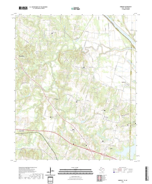
2022 Map of Ambrose
USGS Topo · Published 2022About this map
The Red River defines the northern boundary of this North Texas landscape, where the borders of Grayson, Fannin, and Bryan County meet. The terrain is defined by a dense network of tributaries including Choctaw Creek, Smith Creek, and Brushy Creek, which drain the agricultural lands between Denison and Bells. Evidence of early transit is preserved in the Old RR Grade that cuts across the northern reaches, while the modern transportation spine is formed by the intersection of US Route 69 and State Route 82.
Find a feature on this map
100 named features on this map. Tap any name to fly to it.
Don’t see what you’re looking for? This feature index may not catch every label — zoom into the map to look around manually.
Map Details
Editions of this 2022 Ambrose Map
This is the sole edition of this map. No revisions or reprints were ever made.
Other maps of this area

1901 · Denison
USGS Topo · 1:125,000

1954 · Sherman
USGS Topo · 1:250,000

1957 · Denison Dam
USGS Topo · 1:24,000

1958 · Durant
USGS Topo · 1:62,500

1958 · Whitesright
USGS Topo · 1:62,500

1958 · Denison Dam
USGS Topo · 1:62,500

1958 · Sherman
USGS Topo · 1:250,000

1958 · Sherman
USGS Topo · 1:62,500

1958 · Sherman
USGS Topo · 1:24,000

1958 · Howe
USGS Topo · 1:24,000