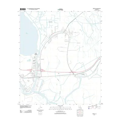
2012 Map of Amelia
USGS Topo · Published 2012About this map
Bayou Boeuf and Bayou L'Ourse define the intricate landscape of this St. Mary Parish corridor, where the energy industry and traditional bayou settlements converge. The area is anchored by the community of Amelia, situated near a network of water-based transportation hubs including the Amelia Airport and the specialized Bayou Boeuf Seaplane Base. This 2012 survey documents the extensive industrial infrastructure of the region, specifically the East Lake Palourde Oil and Gas Field and the Amelia Gas Field. Local genealogy is well-represented through markers such as Saint Andrews Cem and Milton Cem, while the complex drainage patterns of Alligator Bayou and Bayou Black illustrate the low-lying terrain typical of the Acadiana region. Residential clusters like Zacarter, Ursa, and Morgan City Beach are shown tucked between the heavy industrial sites and the banks of Lake Palourde.
Find a feature on this map
74 named features on this map. Tap any name to fly to it.
Don’t see what you’re looking for? This feature index may not catch every label — zoom into the map to look around manually.
Map Details
Editions of this 2012 Amelia Map
This is the sole edition of this map. No revisions or reprints were ever made.
Other maps of this area

1892 · Gibson
USGS Topo · 1:62,500

1892 · Thibodaux
USGS Topo · 1:62,500

1897 · Gibson
USGS Topo · 1:62,500

1932 · Thibodaux SW
USGS Topo · 1:31,680

1935 · Morgan City
USGS Topo · 1:62,500

1938 · Labadieville
USGS Topo · 1:24,000

1939 · Gibson
USGS Topo · 1:62,500
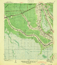
1941 · Gibson
USGS Topo · 1:62,500
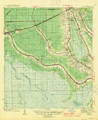
1944 · Gibson
USGS Topo · 1:62,500

1945 · New Orleans
USGS Topo · 1:250,000