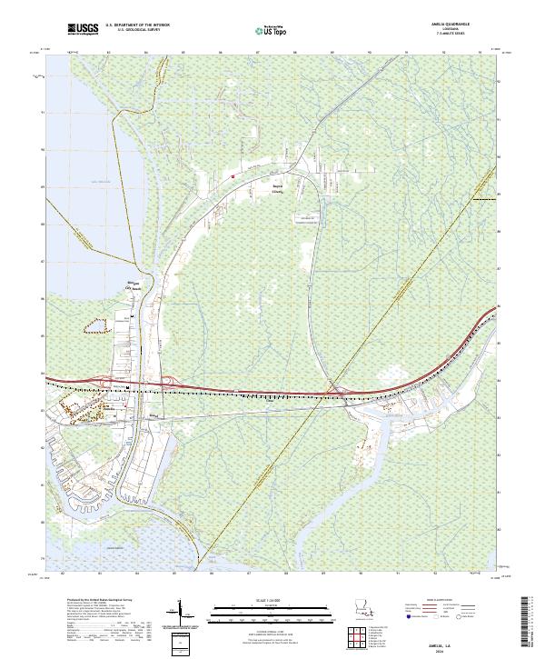
2024 Map of Amelia
USGS Topo · Published 2024About this map
Amelia and the surrounding marshlands of St. Mary Parish are defined by an intricate network of natural bayous and engineered waterways. At this southern Louisiana junction, the Intracostal Waterway and Bayou Chene converge near the southern edge of the sheet, illustrating the maritime infrastructure essential to the region. The settlement of Bayou L'Ourse stretches along the central corridors, while smaller communities like Boeuf and Ursa occupy the transition between developed land and the sprawling wetlands. Local heritage is grounded in sites such as Saint Andrews Cem and Milton Cem, which serve as quiet landmarks for genealogists. The landscape remains dominated by its hydrological features, from the expanse of Lake Palourde in the northwest to the tidal complexity of Avoca Island, showing how the geography of the Atchafalaya basin dictates the patterns of human habitation.
Find a feature on this map
67 named features on this map. Tap any name to fly to it.
Don’t see what you’re looking for? This feature index may not catch every label — zoom into the map to look around manually.
Map Details
Editions of this 2024 Amelia Map
This is the sole edition of this map. No revisions or reprints were ever made.
Other maps of this area

1892 · Gibson
USGS Topo · 1:62,500

1892 · Thibodaux
USGS Topo · 1:62,500

1897 · Gibson
USGS Topo · 1:62,500

1932 · Thibodaux SW
USGS Topo · 1:31,680

1935 · Morgan City
USGS Topo · 1:62,500

1938 · Labadieville
USGS Topo · 1:24,000

1939 · Gibson
USGS Topo · 1:62,500
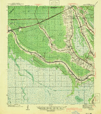
1941 · Gibson
USGS Topo · 1:62,500
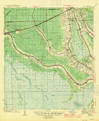
1944 · Gibson
USGS Topo · 1:62,500

1945 · New Orleans
USGS Topo · 1:250,000