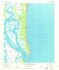
1958 Map of Amelia City
USGS Topo · Published 1972About this map
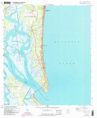
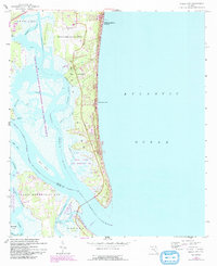
Amelia Island is defined by its intricate network of coastal marshes and waterways during this mid-century period. The central settlement of Amelia City and the seaside community of American Beach sit along the Atlantic coast, anchored by the Buccaneer Trail running south toward Franklintown. This survey documents a critical era for the island's infrastructure, showing the Fernandina Beach Municipal Airport and the complex channels of the Intracoastal Waterway as they weave past Crane Island and Big Piney Island. To the south, the landscape opens into the broad Nassau Sound, separating the island from Talbot Island. Local landmarks such as St Pauls Ch and a nearby Cem provide specific points of interest for genealogists, while the numerous creeks like Kingsley Creek and South Amelia River illustrate the tidal environment before extensive modern development altered the shoreline.
Find a feature on this map
30 named features on this map. Tap any name to fly to it.
Don’t see what you’re looking for? This feature index may not catch every label — zoom into the map to look around manually.
Map Details
Editions of this 1958 Amelia City Map
6 editions found
Other maps of this area

1918 · St Marys
USGS Topo · 1:62,500

1918 · Jacksonville
USGS Topo · 1:62,500

1918 · Mayport
USGS Topo · 1:62,500

1919 · Fernandina
USGS Topo · 1:62,500

1919 · St Marys
USGS Topo · 1:62,500

1944 · Fernandina
USGS Topo · 1:62,500

1948 · Jacksonville
USGS Topo · 1:250,000

1948 · Eastport
USGS Topo · 1:24,000
1950 · Mayport
USGS Topo · 1:24,000
1950 · Eastport
USGS Topo · 1:24,000