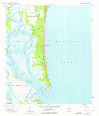
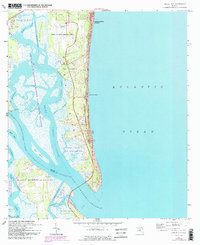
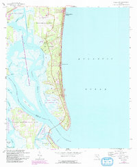
1958 Map of Amelia City
USGS Topo · Published 1975About this map
Amelia Island serves as the primary landmass in this mid-century topographic study, showcasing a coastal landscape defined by maritime industry and recreation. Small settlements like Amelia City, American Beach, and Franklintown dot the eastern shoreline, connected by The Buccaneer Trail. The western edge of the island is bounded by the Amelia River and a complex network of marshes and tidal creeks, including Kingsley Creek and Harrison Creek.
Find a feature on this map
34 named features on this map. Tap any name to fly to it.
Don’t see what you’re looking for? This feature index may not catch every label — zoom into the map to look around manually.
Map Details
Editions of this 1958 Amelia City Map
6 editions found
Other maps of this area

1918 · St Marys
USGS Topo · 1:62,500

1918 · Jacksonville
USGS Topo · 1:62,500

1918 · Mayport
USGS Topo · 1:62,500

1919 · Fernandina
USGS Topo · 1:62,500

1919 · St Marys
USGS Topo · 1:62,500

1944 · Fernandina
USGS Topo · 1:62,500

1948 · Jacksonville
USGS Topo · 1:250,000

1948 · Eastport
USGS Topo · 1:24,000
1950 · Mayport
USGS Topo · 1:24,000
1950 · Eastport
USGS Topo · 1:24,000