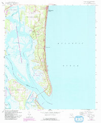
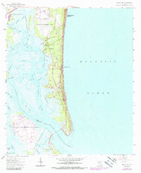
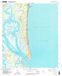
1958 Map of Amelia City
USGS Topo · Published 1992About this map
The barrier island landscape of Amelia Island is shown here in detail during the late 1950s, with later woodland and road updates through the early 1990s. This coastal stretch features the historic residential clusters of Amelia City, Franklintown, and the notable vacation destination of American Beach along the Atlantic coast. The map illustrates the southern expansion of Fernandina Beach as its corporate boundary moves toward the Fernandina Beach Municipal Airport.
Find a feature on this map
34 named features on this map. Tap any name to fly to it.
Don’t see what you’re looking for? This feature index may not catch every label — zoom into the map to look around manually.
Map Details
Editions of this 1958 Amelia City Map
6 editions found
Other maps of this area

1918 · St Marys
USGS Topo · 1:62,500

1918 · Jacksonville
USGS Topo · 1:62,500

1918 · Mayport
USGS Topo · 1:62,500

1919 · Fernandina
USGS Topo · 1:62,500

1919 · St Marys
USGS Topo · 1:62,500

1944 · Fernandina
USGS Topo · 1:62,500

1948 · Jacksonville
USGS Topo · 1:250,000

1948 · Eastport
USGS Topo · 1:24,000
1950 · Mayport
USGS Topo · 1:24,000
1950 · Eastport
USGS Topo · 1:24,000