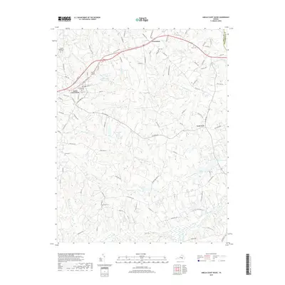
2019 Map of Amelia Court House
USGS Topo · Published 2019About this map
Amelia Court House serves as the focal point of this Virginia Piedmont landscape, where the Amelia County Courthouse marks the administrative center of the county. The surrounding terrain is defined by a dense network of waterways, including Nibbs Cr, Smacks Cr, and Beaverpond Creek, which wind through the forested lowlands and feed into significant catchments like Owenbys Lake and Davenport Pond.
Find a feature on this map
94 named features on this map. Tap any name to fly to it.
Don’t see what you’re looking for? This feature index may not catch every label — zoom into the map to look around manually.
Map Details
Editions of this 2019 Amelia Court House Map
This is the sole edition of this map. No revisions or reprints were ever made.
Other maps of this area

1891 · Farmville
USGS Topo · 1:125,000

1893 · Farmville
USGS Topo · 1:125,000

1897 · Amelia
USGS Topo · 1:125,000

1943 · Amelia
USGS Topo · 1:31,680

1943 · Goodes Bridge
USGS Topo · 1:31,680

1943 · Clayville
USGS Topo · 1:24,000
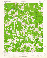
1943 · Chula
USGS Topo · 1:24,000

1943 · Richmond
USGS Topo · 1:250,000

1944 · Chula
USGS Topo · 1:31,680
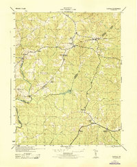
1944 · Clayville
USGS Topo · 1:31,680